


Alphubel (4206m)21.04.2024
Verhältnisse vom 08.07.2020
Lagginhorn (4010m): WSW-Grat ab Weissmieshütte
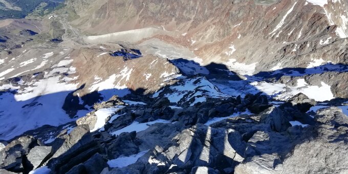
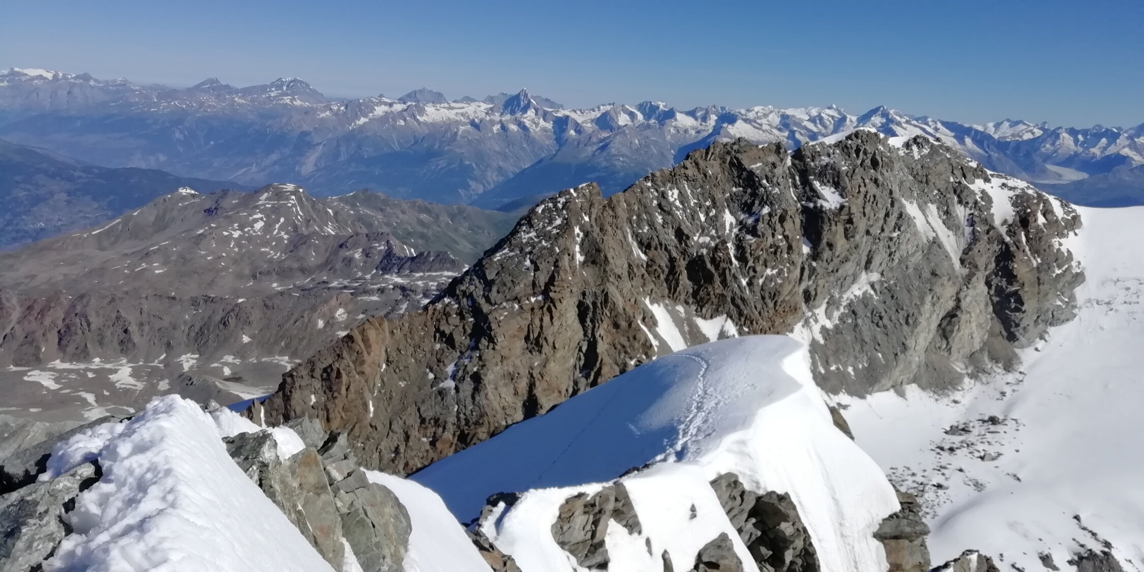
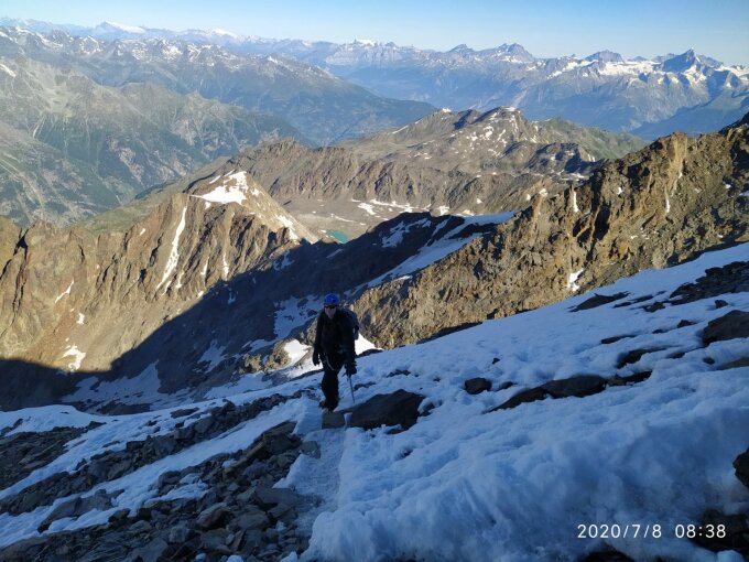
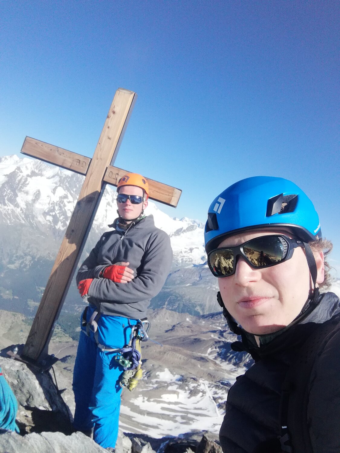
Good conditions, but still a lot of snow. Due to it being early July, there was more snow than expected. From 3600m and up, the ridge had a lot of snow and crampons were needed. We did not need to rope up. We left the hut at 3:45 and took the trail marked with cairns to the glacier/snowfield. We did not rope up for the glacier or. We did use crampons because of the cold night temperatures. The weather was clear and on the way back crampons were not needed on the snowfield. Getting on the ridge was easy. Following the route on the first half ridge was difficult however, it was hard to spot cairns. Most of the ridge is easy scrambling on blocks. There are 2 or 3 sections where you have to climb some II rock with some exposure. From 3600m on, the ridge was covered with snow, so we put on our crampons. The route finding from this point on is easy. Although there were a lot of parties on the route, there were no bottlenecks. The only place a bottleneck could occur I think, is at the final 50m of the summit ridge. We reached the summit at 9:15. The descent was not very difficult, but one should be confident with using crampons. The route finding on the lower portion of the ridge was a lot easier, as it was easier to spot cairns from above. The snow on the snowfield had become very soft.
We were shocked to see Swiss parties of 3-5 climbers rope up with barely 3 meters between climbers on the first half of the ridge. These parties did not use any protection and if one of them had fallen off on one of the more exposed parts of the ridge, he would surely have taken the others. I would recommend to only do this route if you are confident in solo climbing I and II grade rock.
We were shocked to see Swiss parties of 3-5 climbers rope up with barely 3 meters between climbers on the first half of the ridge. These parties did not use any protection and if one of them had fallen off on one of the more exposed parts of the ridge, he would surely have taken the others. I would recommend to only do this route if you are confident in solo climbing I and II grade rock.
We were a bit slower than we would like to be, as this was our first climb of the season.
Letzte Änderung: 21.04.2021, 16:39Aufrufe: 449 mal angezeigt
Aktuelle Verhältnisse in der Umgebung
Metadaten

Lagginhorn (4010m)
WSW-Grat ab Weissmieshütte
Karte