


Mattjischhorn über PirigenWS970m05.03.2026
Nigg's Egg
1492m
sonstiger Wegpunkt
Nigg's Egg
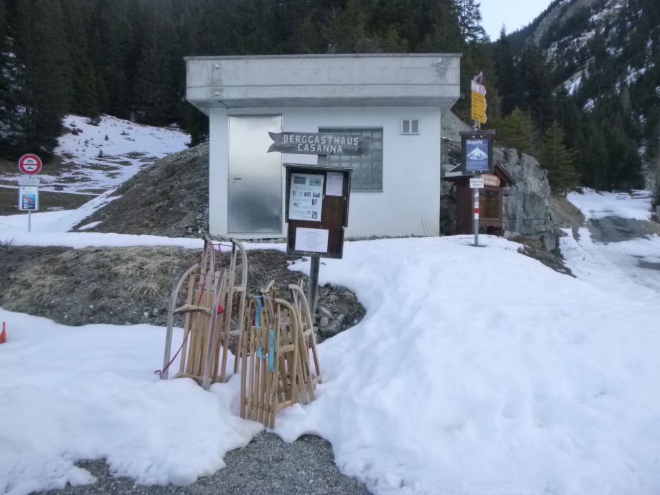
Parkplatz P 1492
1492 m
CH - Graubünden
773523 | 188566
46:49:32:E | 9:42:47:N
46.8256 | 9.71306
Kartenmaterial:
Swisstopo 1196: Arosa, M: 1:25000; Swisstopo 248S: Prättigau, M: 1:50000; Swisstopo 5002: Chur, Arosa, Davos, M: 1:50000; Kompass 113: Davos, Arosa, Prättigau, Klosters, M: 1:40000; K+F-Wanderkarte 35: Arosa, Lenzerheide, Savognin, M: 1:40000
Swisstopo 1196: Arosa, M: 1:25000; Swisstopo 248S: Prättigau, M: 1:50000; Swisstopo 5002: Chur, Arosa, Davos, M: 1:50000; Kompass 113: Davos, Arosa, Prättigau, Klosters, M: 1:40000; K+F-Wanderkarte 35: Arosa, Lenzerheide, Savognin, M: 1:40000
Routen zu diesem Wegpunkt

Karte