


Thalkirchdorf – Ww. 787 m – Schwandalpe – P 936 – Moos-Alpe – Konstanzer Kreuz – P 1057 – Obere Mittelberg-Alpe - P 1184 – Ww. 1415 m – Denneberg – Kreuzgipfel – P 1332 – Herreberg-Alpe – Ww. Klammalpe – P 1057 – Moosalpe – Schwandalpe - ThalkirchdorfT 2712m18.12.2025
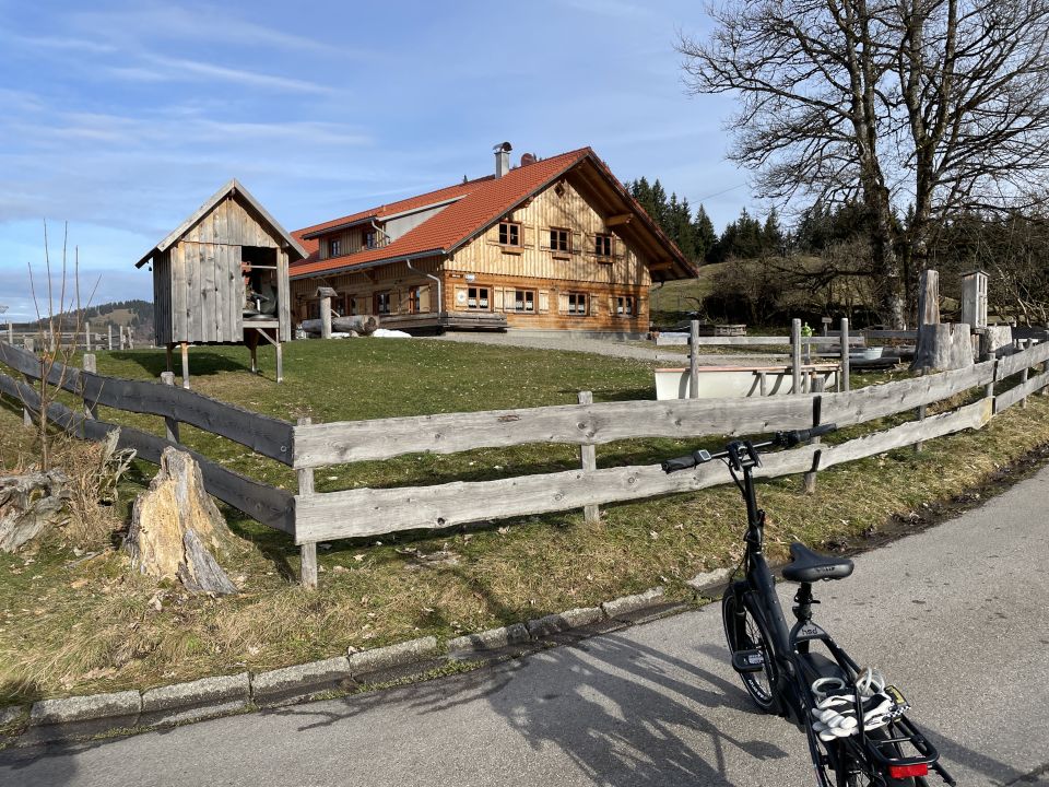
Moos-Alpe
1009m
sonstiger Wegpunkt
Moos-Alpe
1009 m
D - Allgäu
799086 | 268803
47:32:23:N | 10:5:0:E
47.5398 | 10.0833
Jausenstation ; Kartenmaterial:
AV-Karte BY1: Allgäuer Voralpen West (Nagelfluhkette, Hörnergruppe); Digitaler BayernAtlas: https://atlas.bayern.de/?c=580140,5265258&z=14&r=0&l=tk&mid=1
AV-Karte BY1: Allgäuer Voralpen West (Nagelfluhkette, Hörnergruppe); Digitaler BayernAtlas: https://atlas.bayern.de/?c=580140,5265258&z=14&r=0&l=tk&mid=1
Routen zu diesem Wegpunkt

Karte