


Hejnice – U Liščí chata – Hajní kostel – Černeho potok - Frýdlantské cimbuří – Polední kameny – Bilého potoka – Pavlova ceste – Pomničky leteckých neštěstí – Na Kneipě – Pod Jizerou – Jizera – Paulova paseka - SmědavaT 4680m01.08.2023
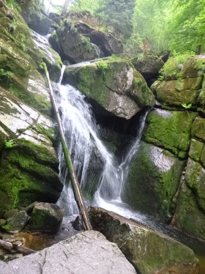
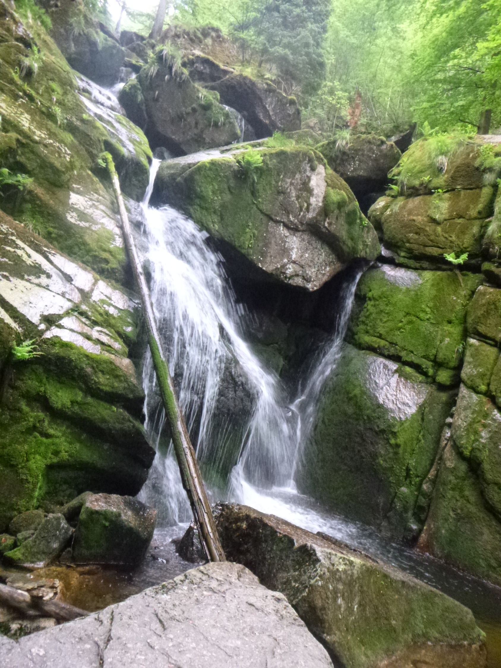
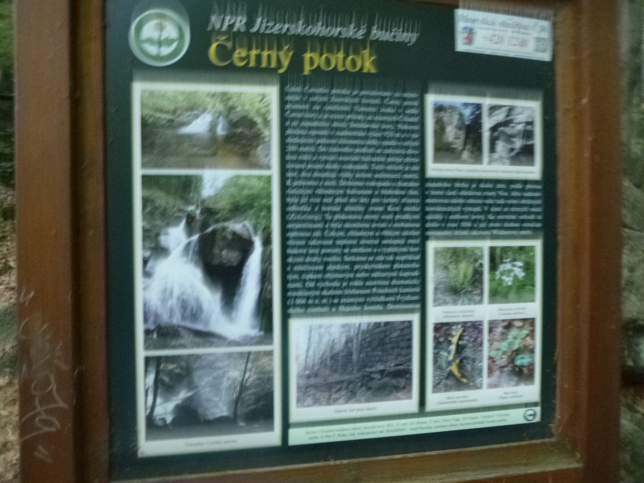
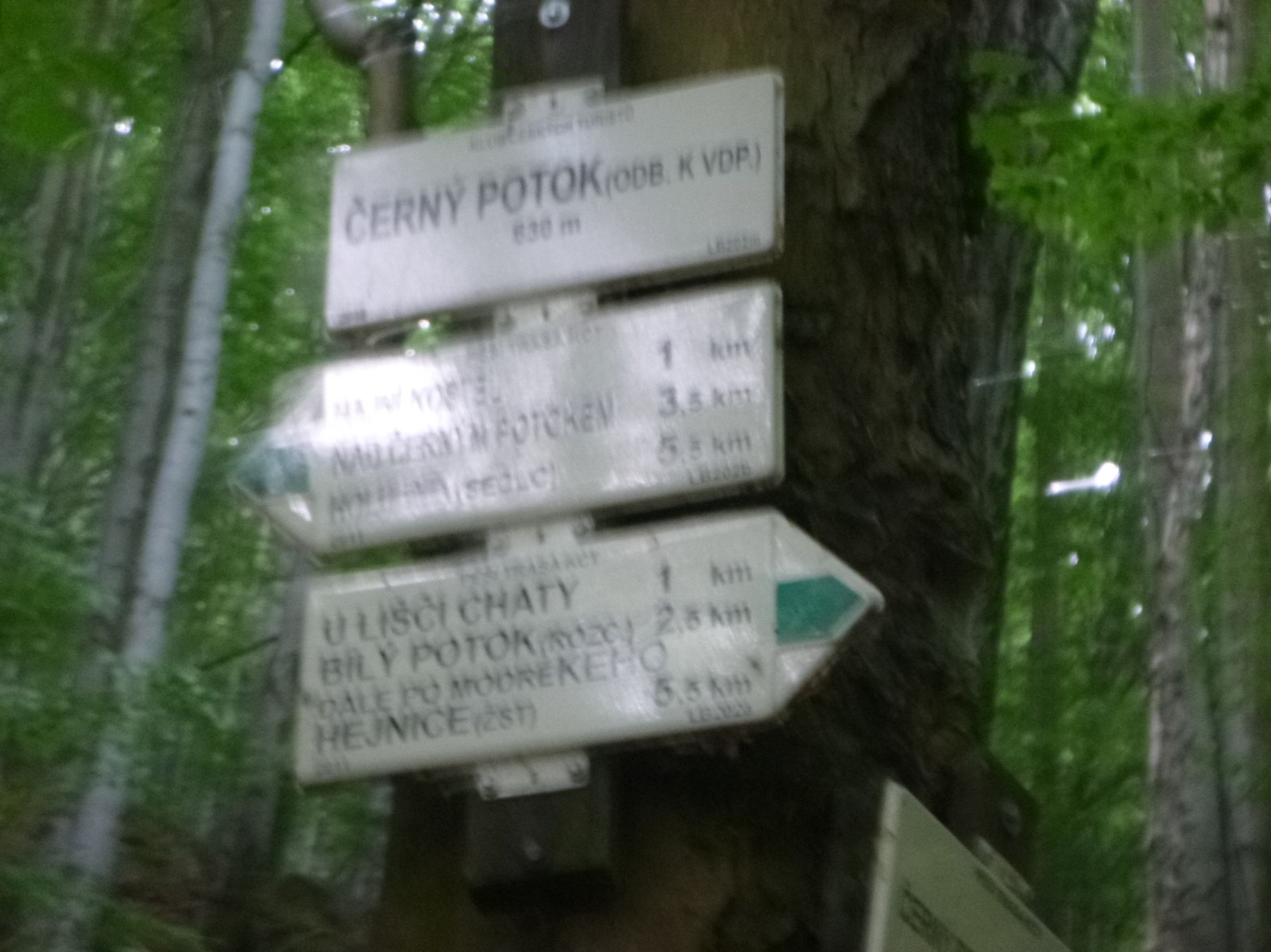
Černeho potok
630m
sonstiger Wegpunkt
Černeho potok
630 m
Andere Region
1147711 | 661938
50:51:26:N | 15:12:41:E
50.8575 | 15.2117
Wasserfall "Schwarzwasser" im Naturschutzpark. Kartenmaterial:
Turistické mapy 23: Jizerské Hory a Frýdlantsko, M: 1: 25000; Turistická a cykloturisticá mapa 402: Jizerské Hory, Frýdlantsko, M: 1:40000; Publicpress 0784: Dreiländereck, M: 1: 150000
Turistické mapy 23: Jizerské Hory a Frýdlantsko, M: 1: 25000; Turistická a cykloturisticá mapa 402: Jizerské Hory, Frýdlantsko, M: 1:40000; Publicpress 0784: Dreiländereck, M: 1: 150000
Routen zu diesem Wegpunkt

Karte