


Talstat. Hochgrat - Simatsgund-A. - Bürschgschwend-A. - Unterdenneberg-A. - Obere Klamm-A. – P 1332 – Klamm – Prodelkamm - Himmeleck – P 1422 - Untere Eck-A. - Bürschgschwend-A. - Simatsgund-A. – Talstat. HochgratWT 2850m22.01.2026
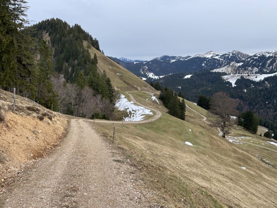
Joch P 1332
1332m
Pass/Übergang
Joch P 1332
1332 m
D - Allgäu
799984 | 267551
47:31:41:N | 10:5:40:E
47.5282 | 10.0947
Kartenmaterial:
AV-Karte BY1: Allgäuer Voralpen West (Nagelfluhkette, Hörnergruppe); Digitaler BayernAtlas: https://atlas.bayern.de/?c=580140,5265258&z=14&r=0&l=tk&mid=1
AV-Karte BY1: Allgäuer Voralpen West (Nagelfluhkette, Hörnergruppe); Digitaler BayernAtlas: https://atlas.bayern.de/?c=580140,5265258&z=14&r=0&l=tk&mid=1

Karte