


Dufourspitze (4634m)13.06.2026
Verhältnisse vom 09.05.2026
Castor (4223m): Bergstation Klein Matterhorn - W-Flanke
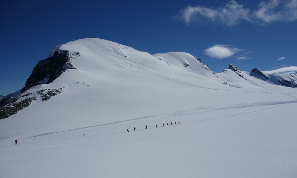
Castore from Plateu Rosà
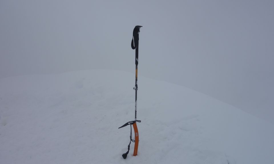
My initial idea was the eastern Braithorn or Black Rock, but then I saw the trail leading up to Castore, wrapped in a fresh, sparkling white sheet. It caught my eye in all its beauty; I couldn't resist. The climb was in exceptional conditions, as with all the routes in the area, with over thirty centimeters of fresh snow covering these giants. When I reached the ski depot, I changed gear and, with ice axe and crampons on an excellent trail, I aimed for the col just above the bergschrund. The climb was steep, and ice was hiding under the loose snow, and I had to be careful, especially on the descent. As forecast, around 12:30 the cloud cover increased and the fog enveloped everything; I couldn't see anything anymore. I waited in vain for someone to take a photo of the summit; the group behind me must have reversed. Luckily, a providential clearing allowed me to ski down to the glacier with good visibility and rejoin the ascent trail, otherwise it would have been a big problem. Eternal return in total whiteout up to the Little Matterhorn, the GPS and a highway track as well as the other people made the difference, descent to Cervinia on the ski slopes up to a few meters from the car what more could you ask for. Memorable day and trip
Ascent: 1170 m
Descent: 2537 m
Distance: 26 km
Time: 07:18
Letzte Änderung: 10.05.2026, 16:34Aufrufe: 4383 mal angezeigt
Aktuelle Verhältnisse in der Umgebung
Metadaten

Castor (4223m)
Bergstation Klein Matterhorn - W-Flanke
Karte