
Menu öffnen Profil öffnen
Wanderung
1 Person
20-50 Personen
auf gleicher Route
Hauptziel erreicht
ausgezeichnet
Alles Trocken und sehr gut zu begehen.
Verhältnis Bilder
Persönliche Bilder
Letzte Änderung: 13.09.2026, 22:08Aufrufe: 697 mal angezeigt

Metadaten

Kartenmaterial

Kartenmaterial Ergänzend:

Geo4Map 111: Val Formazza (Val Bavona - Val Maggia), M: 1: 25000; Cantine Zanetti 59: Val Formazza – Pomattertal, M: 1: 30000; IGC 11: Domodossola e Val Formazza, : 1: 50000; Kompass 89: Domodóssola, M: 1: 50000
,Geo4Map 111: Val Formazza (Val Bavona - Val Maggia), M: 1: 25000; Cantine Zanetti 59: Val Formazza – Pomattertal, M: 1: 30000; IGC 11: Domodossola e Val Formazza, M: 1: 50000; Kompass 89: Domodóssola, M: 1: 50000; swisstopo 1270 Binntal, M: 1:25000; swiss,Geo4Map 111: Val Formazza (Val Bavona - Val Maggia), M: 1: 25000; Cantine Zanetti 59: Val Formazza – Pomattertal, M: 1: 30000; IGC 11: Domodossola e Val Formazza, M: 1: 50000; Kompass 89: Domodóssola, M: 1: 50000; swisstopo 1270 Binntal, M: 1:25000; swiss,Geo4Map 111: Val Formazza (Val Bavona - Val Maggia), M: 1: 25000; Cantine Zanetti 59: Val Formazza – Pomattertal, M: 1: 30000; IGC 11: Domodossola e Val Formazza, : 1: 50000; Kompass 89: Domodóssola, M: 1: 50000

Lawinenrisiko-Indikator (Prognose)

Neuschneemenge (PowderGuide)

Lawinenprognose

Webcams

Blinnenhorn (3373m)

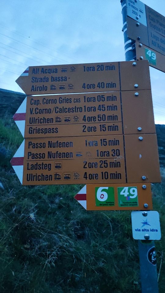
Von der Alpe di Cruina aus Richtung Corno Gries Hütte weiter zum Stausee und über Punkt 2672 und Rifugio 3A zum Gipfel.

Alle Routendetails ansehen

Wanderung

T 3

1800 hm

7.0 h

Karte