


Grünten (1738m)30.05.2026
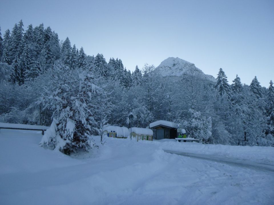
Tourenbeginn um 08:30 Uhr bei -10°C unter wolkenlosem Himmel. Es hatte in letzten beiden Tagen 60 cm Neuschnee gegeben, so dass entsprechendes, Kraft forderndes Stapfen notwendig war. Die Parkplätze wurden gestern zwar geräumt. Über den Abend fielen noch eine 20 cm Neuschnee drauf, so dass wir unsere Stellflächen mit 2 Schaufeln erst einmal frei räumten. Beim kleinen Stausee versperrten 4 Fichten von der Schneelast gebrochen das Sträßchen, die es zu überwinden galt. Am Nachmittag waren diese dann aber schon durchgesägt. Der Alpweg bis zur Gaisalpe war geräumt.
Vom Gipfel blickt man nach Sonthofen, den Sonnenköpfen, den Hohen Ifen im Südwesten und die Bergkette zwischen Gr. Daumen und Nebelhorn (Hindelanger Klettersteig) im Osten.
Berggasthof Gaisalpe war geschlossen und öffnet erst wieder zum 7. 12.2023. Vor uns liefen 7 Skitourengänger. Nach uns kamen etwa 30 weitere hinauf, bzw. begegneten uns im Abstieg.
Parkplatz „Gaisalpe“ kostet € 5,00 am Münzautomat. (nur passendes Münzgeld, keine Kartenzahlung, Stand: 2023).
Parkplatz „Gaisalpe“ kostet € 5,00 am Münzautomat. (nur passendes Münzgeld, keine Kartenzahlung, Stand: 2023).
Letzte Änderung: 04.12.2023, 13:27Aufrufe: 1211 mal angezeigt
Aktuelle Verhältnisse in der Umgebung
Metadaten

Schnippenkopf (1833m)
Reichenbach – P 1001 – Gaisalpkapelle - Gaisalpe – Richteralpe – Rubihütte – Falkensattel - Falkenalpe – SW-Rücken – Schnippenkopf - retour
Karte