


Piz Buin (3312m)21.06.2026
Verhältnisse vom 30.11.2025
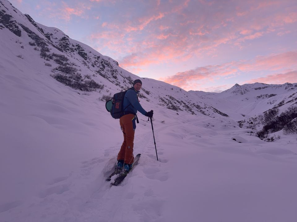
Hinterberg (2682m): Von Gargellen in´s Vergaldatal
Genug Schnee - hatte keinen Steinkontakt.
Jedoch bis 2.300 m Harschdeckel.
Nur darüber noch pulvrig.
3 alte Spuren sonst noch viel Platz
Jedoch bis 2.300 m Harschdeckel.
Nur darüber noch pulvrig.
3 alte Spuren sonst noch viel Platz
Letzte Änderung: 01.12.2025, 09:56Aufrufe: 2719 mal angezeigt
Aktuelle Verhältnisse in der Umgebung
Metadaten

Hinterberg (2682m)
Von Gargellen in´s Vergaldatal
Karte