Balmahorn (2868m) (2868m)11.01.2020
Verhältnisse vom 20.01.2018
Feeschlucht Eisklettern (1600m): Feeschlucht, 68. Saas Fee in Hot Ice West by Urs Odermatt
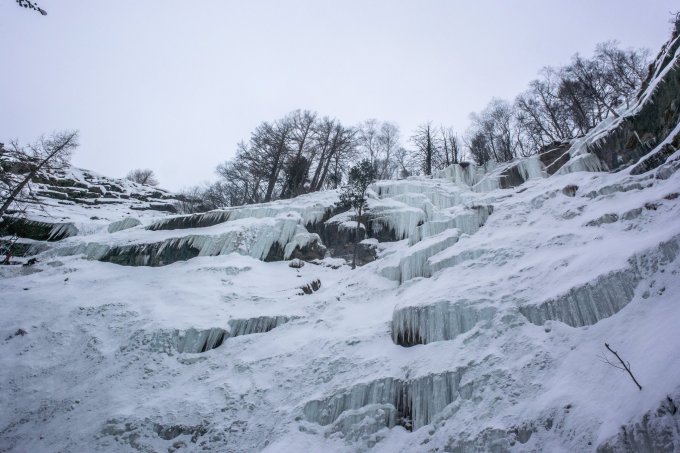
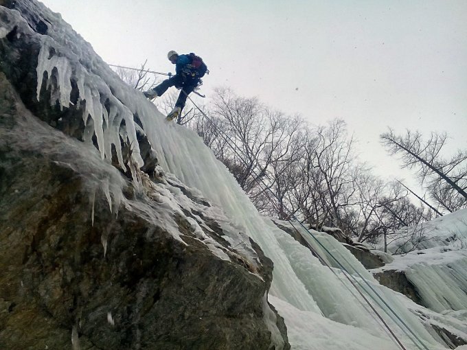
The icefall was in relatively good conditions, though snow covered. Central part above the tree looked a bit dangerous because of icicles so we climbed the right side and traversed leftwards on the second pitch (~ 40+30 m.)
Could squeeze the climb between women semifinals and finals of the Saas Fee WC. There were guide with group learning how to ice climb there as well.
Routeninformationen
Feeschlucht Eisklettern (1600m)
Feeschlucht, 68. Saas Fee in Hot Ice West by Urs Odermatt We climbed right side of the icefall traversing to the left in the second pitch.
Not from Saas Fee as in the Odermatt guidebook but from Saas Grund to Unter den Bodmen and follow the river. The good path is on the south side but it is difficult to find since it starts somewhere between the houses far away from the canyon. We first crossed the river on the bridge to the north bank moved up for 200 m. crossed it back to the south side and scrambled along the river and up the slope (cables) until we reached the good trail about ~ 50 m above the river.
Letzte Änderung: 23.01.2018, 17:28Aufrufe: 2077 mal angezeigt
Aktuelle Verhältnisse in der Umgebung
Feeschlucht Eisklettern (1600m)
Feeschlucht, 68. Saas Fee in Hot Ice West by Urs Odermatt
Eisklettern
1600 hm
Karte


