Menu öffnen Profil öffnen
WanderungGuter Eintrag
1 Person
max. 5 Personen
auf gleicher Route
Hauptziel erreicht
gut
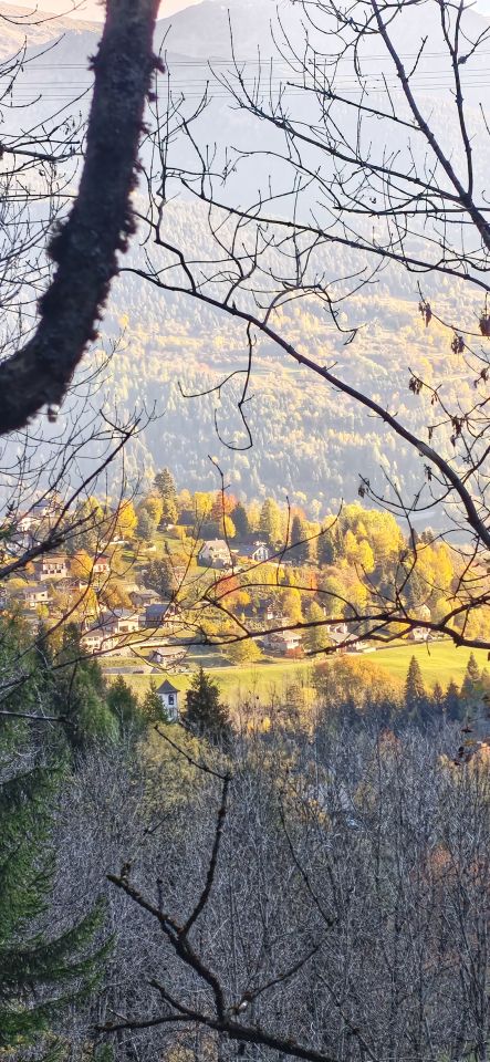
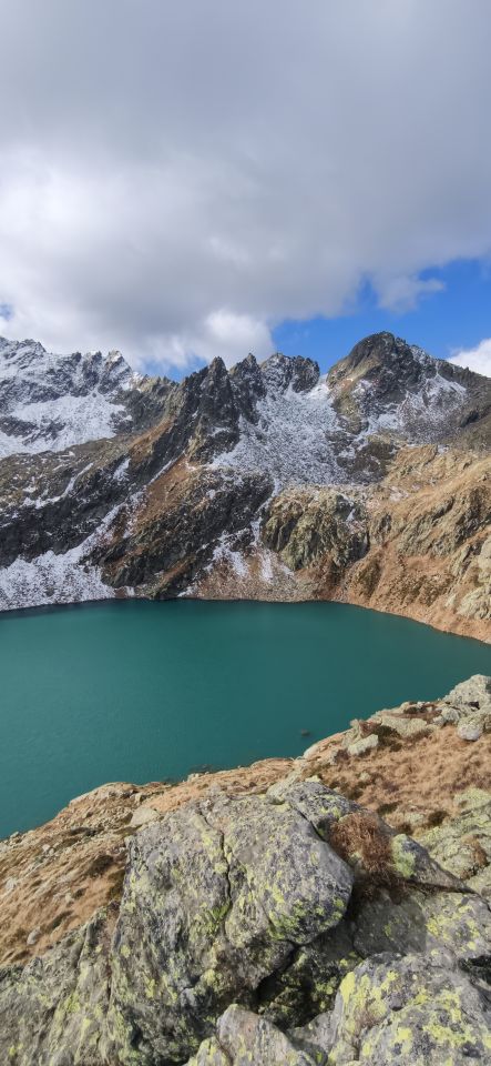
Bin von Dalpe über Lago di Morghirole zur Hütte und dann über den Passo Vanit wieder runter nach Dalpe
Dank wenig Schnee noch Recht gut machbar, ab und zu eisige Stellen, welche aber immer umgangen werden können.
Verhältnis Bilder
Persönliche Bilder
Letzte Änderung: 01.11.2026, 21:23Aufrufe: 588 mal angezeigt

Metadaten

Kartenmaterial

Kartenmaterial Ergänzend:

swisstopo 1251: Val Bedretto, M: 1:25000; swisstopo 1252: Ambrì-Piotta, M: 1:25000; swisstopo 1272: Pizzo Campo Tencia, M: 1:25000,swisstopo 1251: Val Bedretto, M: 1:25000; swisstopo 1252: Ambrì-Piotta, M: 1:25000; swisstopo 1272: Pizzo Campo Tencia, M: 1:25000,swisstopo 1251: Val Bedretto, M: 1:25000; swisstopo 1252: Ambrì-Piotta, M: 1:25000; swisstopo 1272: Pizzo Campo Tencia, M: 1:25000,swisstopo 1251: Val Bedretto, M: 1:25000; swisstopo 1252: Ambrì-Piotta, M: 1:25000; swisstopo 1272: Pizzo Campo Tencia, M: 1:25000,swisstopo 1251: Val Bedretto, M: 1:25000; swisstopo 1252: Ambrì-Piotta, M: 1:25000; swisstopo 1272: Pizzo Campo Tencia, M: 1:25000,swisstopo 1251: Val Bedretto, M: 1:25000; swisstopo 1252: Ambrì-Piotta, M: 1:25000; swisstopo 1272: Pizzo Campo Tencia, M: 1:25000

Lawinenrisiko-Indikator (Prognose)

Neuschneemenge (PowderGuide)

Lawinenprognose

Webcams

Passo Campolungo (2318m)

Cap. Campo Tencia – P 2173 - Lago di Morghirolo – P 2266 - A. Lei di Cima – Lago di Leit – Fontane – Passo Campolungo – P 2038 – P 1789 – P 1751 – Alpe Colla – P 1633 – P 1457 – Wasserfall Alned - Fusio

Alle Routendetails ansehen

Wanderung

T 3

1498 hm

6.0 h

Karte