


Piz Ravetsch (3007m)30.06.2026
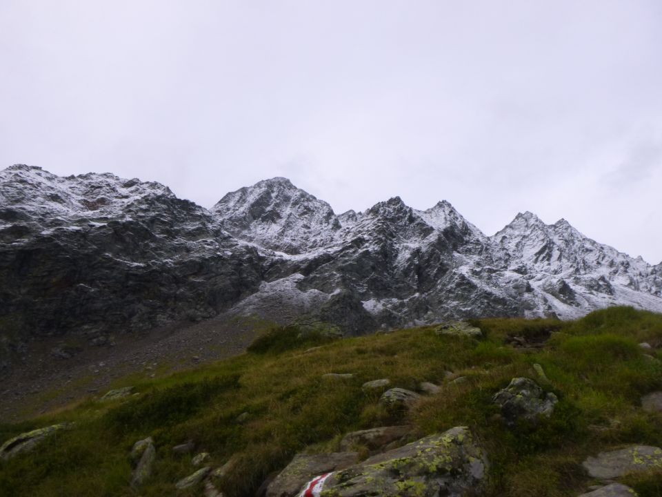
Tourenbeginn um 08:55 Uhr bei 6°C unter heiterem Himmel. Schnee lag ab ca. 2300 m. Ursprünglich war unser Plan, über den Pizzo Campo Tencia zum Rifugio Alpe Fontana (Corte di Fondo) abzusteigen. Diesen haben wir jedoch wegen den Witterungsbedingungen und instabiler Wettervorhersage schnell begraben und liefen auf kürzestem Weg nach Fusio.
Dies war der 1. Teil von Tag 5 unserer Durchquerung der nördlichen Tessiner Alpen.
Zum 2. Mal strich ich die Segel, beim Versuch, den Pizzo Campo Tencia zu ersteigen. Schon wie damals (siehe Gipfeltourenbericht über den Passo di Ghiacciaione vom 30.10.2017) war die rutschige Neuschneeauflage nicht dafür einladend. Von Fusio fuhren wir durch das Val Lavizzara hinab nach Sornico Prato, wo wir durch das Val die Prato aufstiegen zum Rifugio Alpe Fontana (Corte di Fondo), um geplante Route zur Tomeo-Hütte (Etappe 05W der VAVM) fortzusetzen.
Letzte Änderung: 21.09.2023, 14:32Aufrufe: 1011 mal angezeigt
Aktuelle Verhältnisse in der Umgebung
Metadaten

Passo Campolungo (2318m)
Cap. Campo Tencia – P 2173 - Lago di Morghirolo – P 2266 - A. Lei di Cima – Lago di Leit – Fontane – Passo Campolungo – P 2038 – P 1789 – P 1751 – Alpe Colla – P 1633 – P 1457 – Wasserfall Alned - Fusio
Karte