


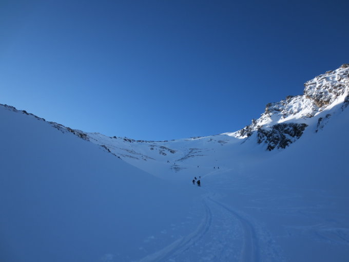


SSW-Couloir von der Pforzheimer HütteWS800m24.07.2011
Zischgeles
3004m
Gipfel
Zischgeles
Zischgelesspitze
3004 m
A - Tirol
0 | 0
47:7:54:N | 11:5:42:E
47.1318 | 11.0952
Kartenmaterial:
AV-Karte 31/2: Stubaier Alpen, Sellrain, M: 1:25000; BEV 228 (NL 32-03-28 West): Gries im Sellrain, M: 1:25000; Kompass 83: Stubaier Alpen, M: 1:50000
AV-Karte 31/2: Stubaier Alpen, Sellrain, M: 1:25000; BEV 228 (NL 32-03-28 West): Gries im Sellrain, M: 1:25000; Kompass 83: Stubaier Alpen, M: 1:50000
Routen zu diesem Wegpunkt
Von Praxmar durch das Kamplloch zum GipfelUnbekannt1200m18.02.2011
Von Praxmar auf den GipfelUnbekannt1316m03.03.2014
Zischgelesspitze, 3005 mWS1300m08.01.2020
Praxmar – Schäfalm – Ombrometer – NO-Rampe – Ostsattel – Depot - Ostgrat – Zischgeles – retourWT 41350m04.02.2024
Aktuelle Verhältnisse zu diesem Wegpunkt
Von Praxmar durch das Kamplloch zum Gipfel26.04.2026
Von Praxmar auf den Gipfel05.04.2025
Von Praxmar auf den Gipfel02.04.2025
Zischgelesspitze, 3005 m08.04.2024
Von Praxmar auf den Gipfel06.04.2024
Praxmar – Schäfalm – Ombrometer – NO-Rampe – Ostsattel – Depot - Ostgrat – Zischgeles – retour02.02.2024
Von Praxmar durch das Kamplloch zum Gipfel03.01.2024
Von Praxmar durch das Kamplloch zum Gipfel10.04.2023
Von Praxmar auf den Gipfel19.03.2022
Von Praxmar durch das Kamplloch zum Gipfel14.01.2020
Von Praxmar auf den Gipfel24.02.2018
Von Praxmar auf den Gipfel30.04.2017
Von Praxmar durch das Kamplloch zum Gipfel30.04.2016
Von Praxmar auf den Gipfel03.03.2014
Von Praxmar auf den Gipfel28.03.2013
Praxmar06.05.2011
Von Praxmar durch das Kamplloch zum Gipfel18.02.2011
Von Praxmar durch das Kamplloch zum Gipfel17.02.2011

Karte