


Piz Linard (3410m)25.04.2026
Verhältnisse vom 02.01.2025
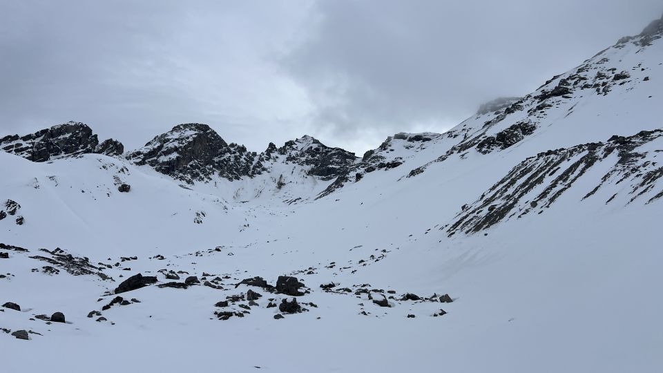
Piz Laschadurella (3046m): Prada Laschadura - Margun - Nordflanke
Sehr wenig Schnee im Gebiet. Ein paar mal kratzt es schon in der Abfahrt. Aber alles in allem ok. Steigeisen sehr hilfreich im Couloir. Die letzten 50hm dort zu Fuss. Nachher kaum noch Schnee bis auf den Gipfel.
Letzte Änderung: 02.01.2025, 17:12Aufrufe: 2015 mal angezeigt
Aktuelle Verhältnisse in der Umgebung
Metadaten

Piz Laschadurella (3046m)
Prada Laschadura - Margun - Nordflanke
Karte