


Zervreilahorn (2898m)24.05.2026
Tourenbeginn um 07:50 Uhr bei 0°C unter klarem Himmel. Lediglich an Nord- und Schattenseiten und über 2500 m lag noch dünne Altschneeschicht.
Die Kleinkabinenseilbahn fährt von Malvaglia – Filovia (420 m) über 980 Hm hinauf- und hinab zum / vom Restaurant Sass Malt im Maisäß Dagro. Ab 4.11. ist sie in Betrieb von 10:00 bis 17:00 Uhr. Retourfahrt kostet CHF 20,00 (Stand: 2024).
Im Kasten für das Gipfelbuch liegen 2 grüne Hefte. Das alte vom 7.7.2019, das noch nicht vollgeschrieben ist und das neue wenig beschriebene vom 18.8.2023.
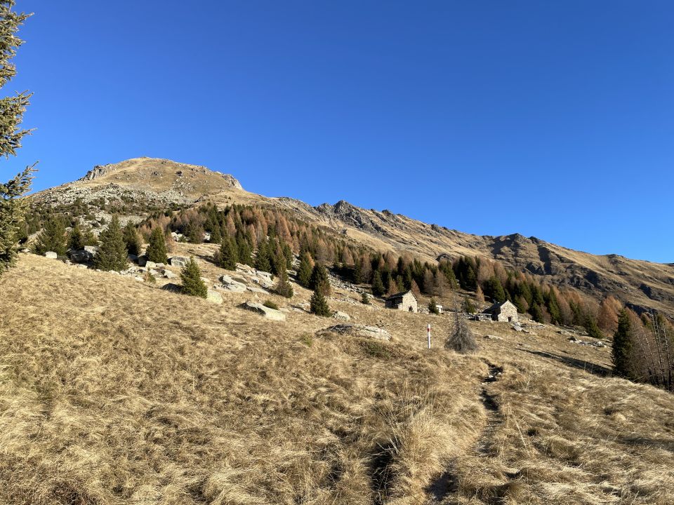
Die Capanna Prou ist im Winter nicht mehr offen zugänglich, sondern mit Zahlenschloss verschlossen.
Mautkosten bei Caslóu am Ende vom Stausee: CHF 7,00 mit Münzen, per TWINT mittels QR-Code, oder mit ParkingPay App (Stand: (2024).
Die Capanna Prou ist im Winter nicht mehr offen zugänglich, sondern mit Zahlenschloss verschlossen.
Mautkosten bei Caslóu am Ende vom Stausee: CHF 7,00 mit Münzen, per TWINT mittels QR-Code, oder mit ParkingPay App (Stand: (2024).
Letzte Änderung: 17.03.2025, 00:16Aufrufe: 353 mal angezeigt
Aktuelle Verhältnisse in der Umgebung
Metadaten

Cima di Piancabella (2671m)
Dègro – Gordón – Cascina di Dègro – Cap. Prou – Steinpyramide - P 2386 – Südgrat – Cima di Piancabella - retour
Karte