


Nüenchamm (1904m)22.06.2026
Verhältnisse vom 22.01.2023
Selun (2205m): Von Starkenbach oder von Vorder Starkenbach
If it wouldn't be for my skis I would rank it well, unfortunately it is definitely a tour for stein skis at the moment. But tracing the path on such beautiful tour with a nice weather is a sacrifice one must accept.
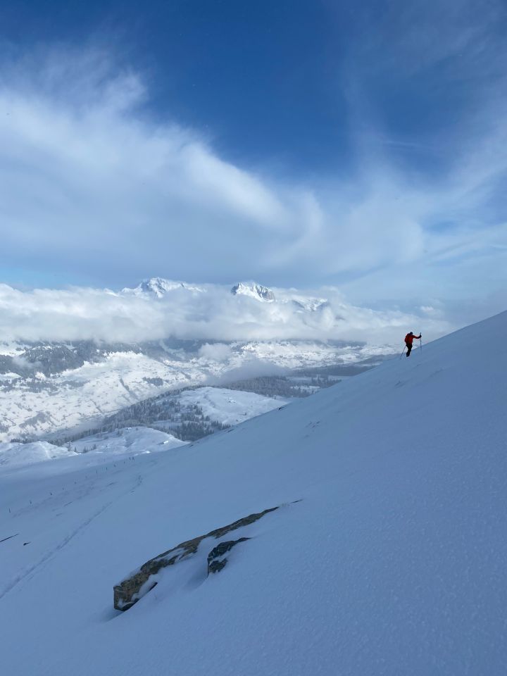
10-20 cm powder along the ascent from the meadow to the forest and the long slope until the summit but without significant base, many rocks and stones contacts on the way up and down (I stopped counting).
In the last 200 meters most of the snow layer is blown away and only rest the icy crust (better having crampons but easily feasible without, I did not have them).
Better to avoid the summer shortcut in the forest since the snow layer is very thin. I stayed on the right side of the summit slope on the way up where the powder snow is less blown-up by the wind.
It needs more snow, it will probably get worse along the week, only go there with stein skis or be prepare to sacrifice your fancy ones
Letzte Änderung: 26.01.2023, 17:42Aufrufe: 1511 mal angezeigt
Aktuelle Verhältnisse in der Umgebung
Metadaten

Selun (2205m)
Von Starkenbach oder von Vorder Starkenbach
Karte